The Lower Severn Vale is a geography distinct and uniquely picturesque area of Gloucestershire, roughly defined as the area of lowland around the River Severn between Gloucester and the Second Severn Crossing.
In 2012, the Campaign to Protect Rural England (CPRE) approached the University with an idea and funding for a project to focus on the Lower Severn Vale, which they consider an important but poorly-understood part of Gloucestershire (certainly in comparison to the more studied surrounding landscapes of the Cotswolds and the Forest of Dean). The area is subject to many development pressures and there is an interest in ensuring that new development is planned wisely. With this in mind, it is important to develop an understanding of the character and special qualities of the landscape that will inform debates over its future.
The project, led by Robert Berry, is aimed at developing a digital map database, or geographic information system (GIS), of the Lower Severn Vale using undergraduate student interns working with open source GIS software.
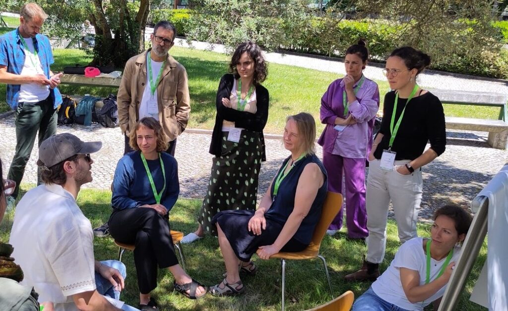
The main advantages of using open source GIS is that the software can be installed on any computer, without financial cost or licensing restrictions, allowing on-going resource sharing and active collaboration. It is hoped that the Severn Vale GIS will become a resource which will build up over time, providing a database of information for other research projects, a scenario planning tool, and a community engagement tool for both the University of Gloucestershire and the CPRE. on one of the annual study tours funded by the project.
Each year since 2012, around 2-3 students have completed internships on the project. In the early stages, interns focussed on data acquisition and cataloguing, but as the project has progressed, attention is now focussed on using the data for analysis and developing ways of publishing project data and study outputs in an open and accessible format. This year, for example, two interns began work on creating a public-facing online mapping system which will allow anyone to view and interact with the data collected on the project. This is due to be launched at CPRE Gloucestershire’s Annual General Meeting in 2018.


