
Cluster | Land, Water and Ocean Environments

GIS2 Map

GIS of the Lower Severn Vale

This project, led by Robert Berry, is aimed at developing a digital map database, or geographic information system (GIS), of the Lower Severn Vale using undergraduate student interns working with open source GIS software.

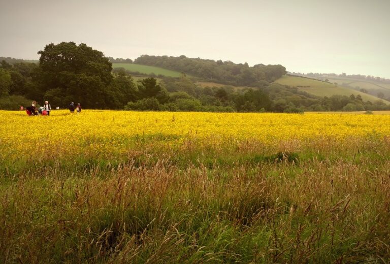
LANDWISE illustration

LANDWISE

Authorities across the West Thames area to learn how different land management methods impact on flood risk.

SoilCare logo

SoilCare

The overall aim of SoilCare was to identify and evaluate promising soil-improving cropping systems and agronomic techniques that increase the profitability and sustainability of agriculture across Europe.

State of Farming in Exmoor study

In November 2014, the CCRI won a new research project to explore the current state of Exmoor farming and analyse how it may change in the future.