
FUTGRAZE
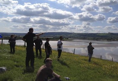
This project identified ‘best practice’ and outlined a range of ways to manage and operate pasture areas in Norway, this included concrete arrangements for handling misconceptions and the different priorities of various interest.
View completed research projects carried out by CCRI.
This project identified ‘best practice’ and outlined a range of ways to manage and operate pasture areas in Norway, this included concrete arrangements for handling misconceptions and the different priorities of various interest.

This Rural Housing Survey sought the opinions and experiences of residents of rural areas in England to help Rural England better understand housing issues.

This collaborative project will demonstrate how buildings and boundaries enclosing spaces associated with their historic use can be better integrated into decision making processes based on an ecosystem services approach.
This project will use a range of existing and ongoing work including data on boundaries in the Lower Severn Vale to develop GIS resources in the Lower Severn Vale using open data and open source GIS software.
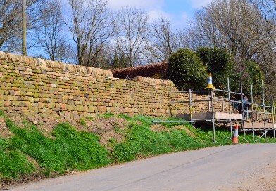
The project will develop a methodology that can identify the benefits and attribute values associated with the dry stone walls of the Peak District National Park.
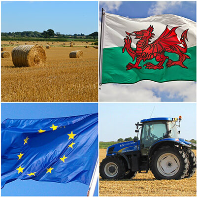
Janet Dwyer was commissioned to write a report for the Public Policy Institute for Wales, highlighting the challenges and opportunities for agriculture and rural areas in Wales that could result from Brexit.

This project, led by Robert Berry, is aimed at developing a digital map database, or geographic information system (GIS), of the Lower Severn Vale using undergraduate student interns working with open source GIS software.
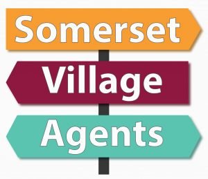
Paul Courtney worked with South West Forum and Clarity to undertake an evaluation of the Somerset Village Agents project.

Authorities across the West Thames area to learn how different land management methods impact on flood risk.