Natural England Monitoring & Evaluation Framework Research (2012-2025)
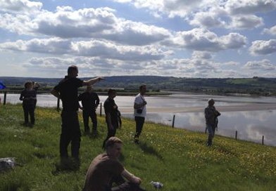
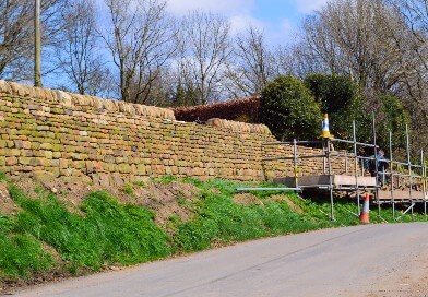
Since 2012, the CCRI has been involved in an on-going series of themed research projects aimed at supporting the development and implementation of Natural England’s agri-environment schemes.